

Interactive Mapping
Interactive maps show property, comparable, assignment, parcel, and overlay data in a location-first workspace. Use maps when geography, proximity, parcels, or environmental context affect the review.
Search And Navigate
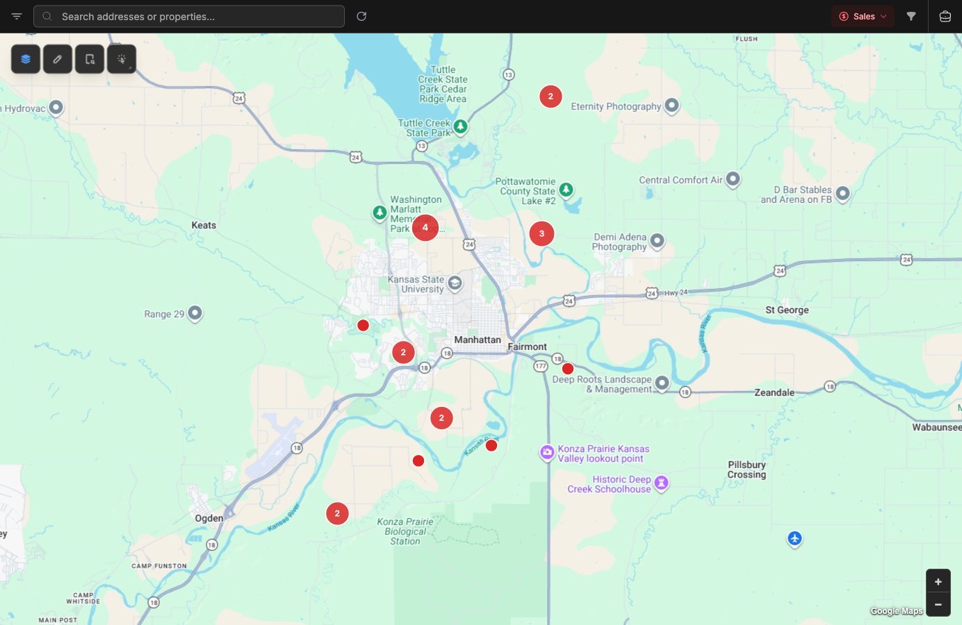
Section titled “Search And Navigate”Open Maps from the main navigation, or switch a supported list into split or map view. The map search field searches addresses and existing properties. When you select an address, the map flies to that location and drops a geocoder marker. When you select a property result, the properties layer is activated and the property popup opens.
Control Layers
Section titled “Control Layers”Use the layers button to change the base map and toggle overlays. Built-in overlays include properties, parcels, soils, and FEMA flood zones. Satellite labels, street dark mode, and the FEMA legend are available from the same panel when relevant.
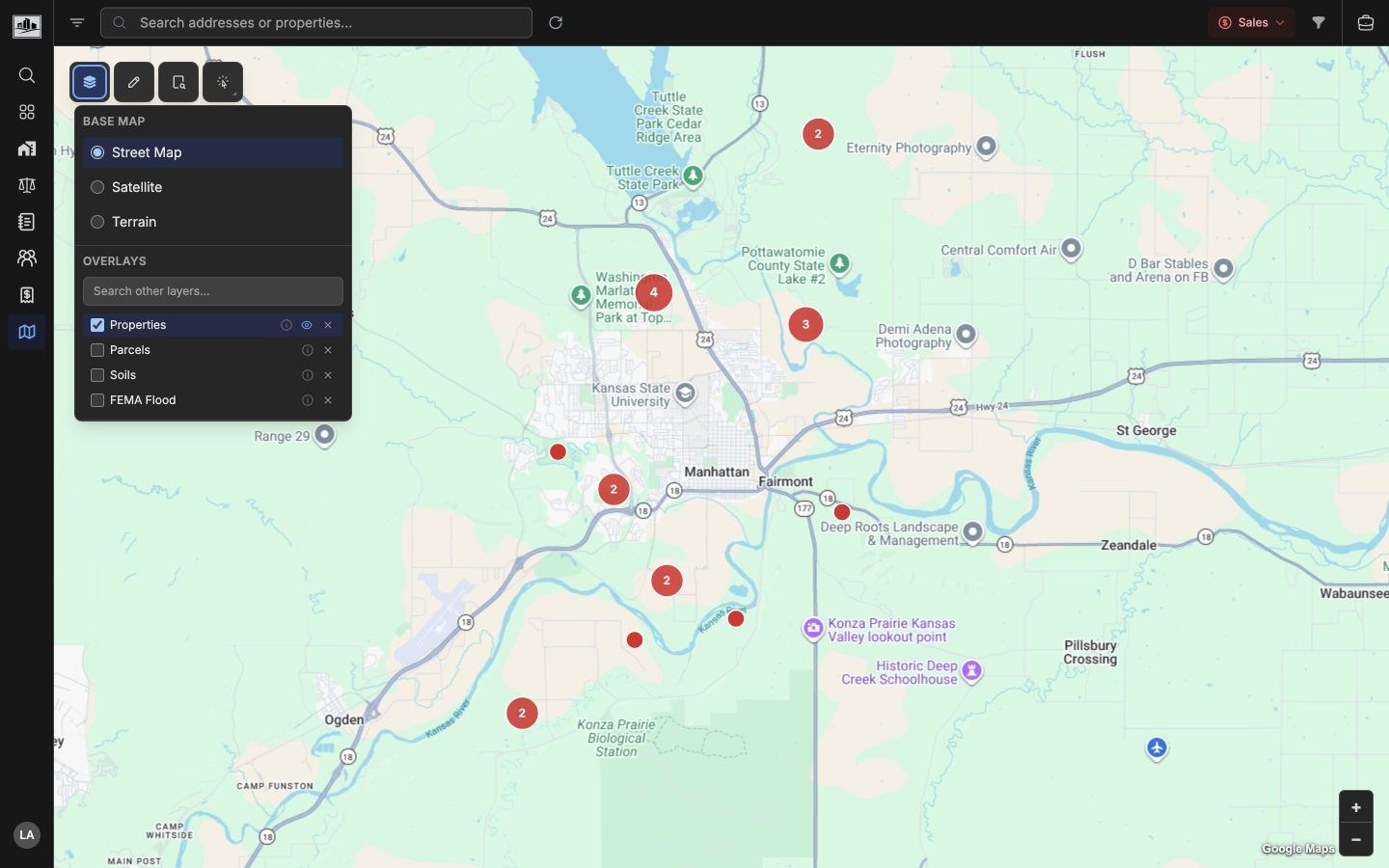
You can also search for additional platform layers. A limited number of platform layers can be active at the same time; remove one before adding another if the limit is reached.
Filter Map Data
Section titled “Filter Map Data”The map uses the same property and comparable filters as the list views. Open the Property Type Filter for Property Use Classification System (PUCS) selections or the advanced filter drawer for field rules. Use the search area tool to draw a rectangle or polygon and filter records to that area.
Active filter indicators show which map filters are in effect and provide clear actions for PUCS, advanced, search area, or all filters.
Select And Inspect
Section titled “Select And Inspect”Use the select tool to choose parcels or other selectable vector layers. Selected parcels open a selection bubble and details panel for review. Property and comparable markers open popups, and overlapping markers can expand so individual records can be selected.
Annotate And Measure
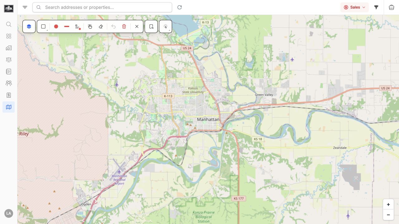
Section titled “Annotate And Measure”Open Annotate & Measure to reveal the map markup toolbar. Use the available drawing and measurement tools to mark review areas or record dimensions, then undo or clear working annotations when they are no longer needed.
Related Features
Section titled “Related Features”- Map Overlays & Data Layers for overlay catalog details.
- Property Database for property records shown on the map.
- Comparable Analysis for sale, lease, income/expense, and cost markers.